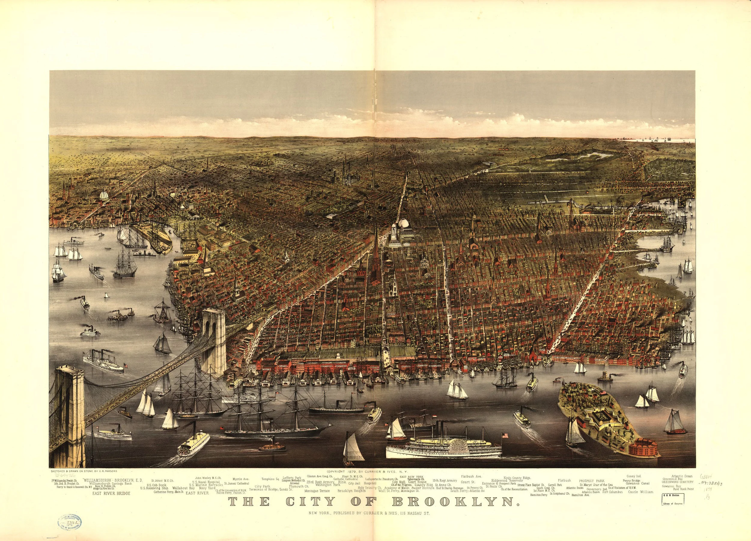
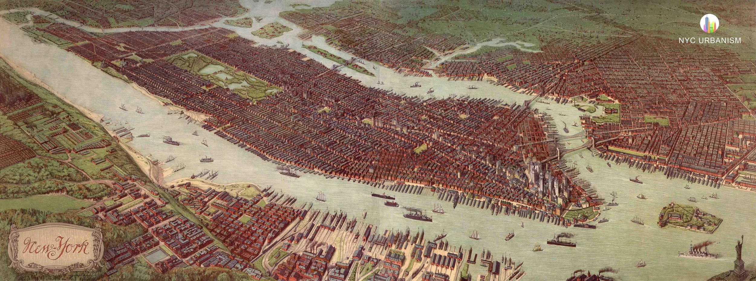
Aerial View of New York, 1879

Aerial View of New York, 1879
from $16.99
Aerial View of New York, 1879 by Root & Tinker.
Size:
Quantity:

Aerial View of New York, 1879 by Root & Tinker.