Maps and Drawings 1954 Subway Map PreviousCastello Plan, NYC 1660 NextTaylor Map, 1879 1954 Subway Map 1954 Subway Map from $15.99 
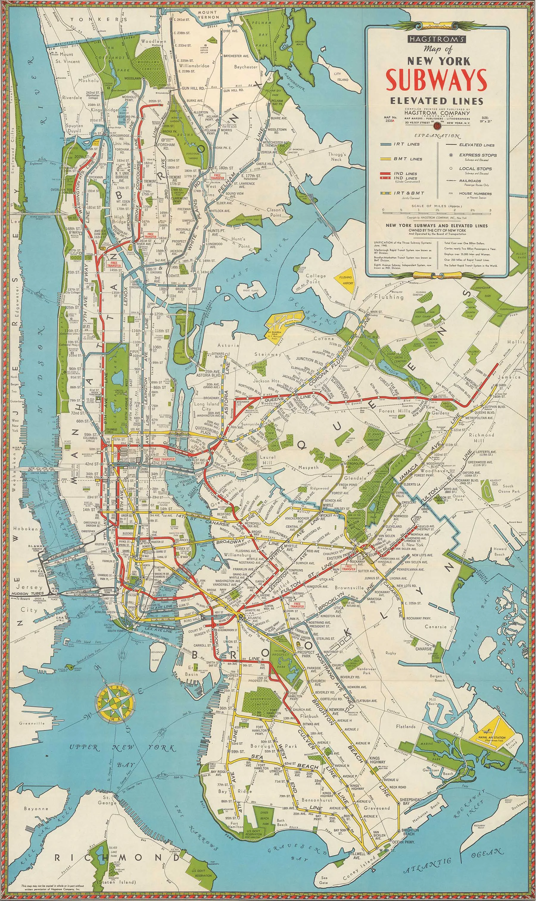
1954 subway map of New York City.Larger prints available on request. Size: Select Size 8x11"11x17"13x19" 8x11" 11x17" 13x19" Quantity: Add To Cart Facebook0 Twitter LinkedIn0 Reddit Tumblr Pinterest0 You Might Also Like FLY TWA (Times Square) from $19.99 1942 Subway Map from $24.99 1874 Brooklyn City Rail Road Company Map from $19.99 sale Custom Historic NYC Land Maps Sale Price:$44.97 Original Price:$49.99 sale Robert Moses' Proposed Expressway Map (13x19") Sale Price:$28.99 Original Price:$29.99